Limanköy is a township in Çayeli district of Rize province on the Black Sea coast of eastern Turkey, 6 km west of the town of Çayeli. Limanköy is in the east of Büyük Caferpaşa, in the south of Demirhisar and Akpınar.It is the largest neighborhood in Çayeli.InfrastructureThere are two boathouses and a harbor, two swimming areas and a beach. There are concrete and asphalt roads also stabilized roads. Next to the coast highway is 2,5 km (1,5mil). Most of the way out of it is concrete. In Limanköy, there are lots of natural water sources also there are water sources of government. Most people use natural water which came to from mounts. In Limanköy, there are three mosques; Hamuda, Merkez and Darlık Mosques. One of them is in entrance of Limanköy, others of them is in another parts of Limanköy.EtymologyLimanköy was formerly known as Artotil in Ottoman Empire. Now, The name is Limanköy. Mean of Limanköy is Liman-KoyGeographyLimanköy consists of a narrow coastal strip and a large section of the Black Sea Mountain range which rises steeply and runs parallel to the coast. There are green hills. At 420m, Hill Jandarma (Jandarmağun Tepe) is the highest point.However, for anyone who does venture up here the countryside is unspoilt forest and the views from these steep mountainsides are incredible; therefore Limanköy is now attracting visitors on trekking holidays.HistoryMapavri was since long inhabited by the Laz community, and was part of the Roman Empire and then the Empire of Trebizond until was brought within the Ottoman Empire by Mehmet II in 1461, although this coast has always been vulnerable to invaders from across the nearby Caucasus.
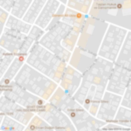
 Limanköy, Çayeli
467 metre
Limanköy, Rize ilinin Çayeli ilçesine bağlı bir mahalledir. Çayeli'nin en büyük mahal...
Limanköy, Çayeli
467 metre
Limanköy, Rize ilinin Çayeli ilçesine bağlı bir mahalledir. Çayeli'nin en büyük mahal...